
Fair & Equitable
Consistent and auditable neighborhood-level outcomes.


Enterprise-grade valuation infrastructure
for transparency, accountability, and public trust.
AVARA brings structure to the chaos of property data and fairness to valuation at scale. We combine modern data infrastructure, analytics, and policies.
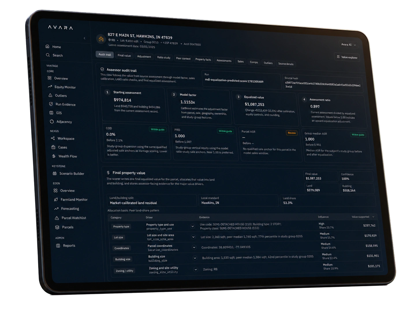
Consistent and auditable neighborhood-level outcomes.

Automate complexity. Run on open infrastructure.

Designed to stand up in review or testimony.

Audit policies are traceable. Logic made visible.
AVARA operates on explainable, immutable records from raw data to final value.
See how it works ›